Home > News > Industry news > How GPS and GNSS Jamming Affects Drone Navigation
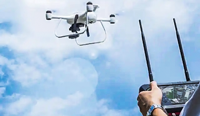
Most modern drones rely heavily on satellite navigation systems to maintain stable flight and accurate positioning. Technologies such as GPS and GNSS provide real-time location data that enables drones to hover, navigate, and return safely to their launch point.
However, when these satellite signals are disrupted through GPS or GNSS jamming, drone navigation can be significantly affected. Understanding how this interference works is important for both drone operators and security professionals.
GPS (Global Positioning System) is a satellite-based navigation system that provides location and timing information to receivers on Earth. GNSS, or Global Navigation Satellite System, is a broader term that includes multiple satellite systems such as GPS, GLONASS, Galileo, and BeiDou.
Drones typically use GNSS receivers to determine their precise location, altitude, and movement. These signals allow the drone to maintain stable hovering and follow programmed flight paths.
GPS and GNSS signals are relatively weak by the time they reach the Earth’s surface. Because of this, they can be disrupted by stronger radio signals transmitted on the same frequencies.
Jamming works by broadcasting interference signals that overpower the satellite signals received by the drone. When this occurs, the drone’s navigation system may no longer be able to calculate its position accurately.
When a drone loses reliable GNSS signals, several operational issues may occur.
Most drones use satellite data to maintain a stable hovering position. Without GNSS signals, the drone may drift or rely only on onboard sensors such as inertial measurement units or vision systems.
Many drones include an automatic Return-to-Home (RTH) feature that guides the aircraft back to its takeoff location. If GPS signals are jammed, the drone may be unable to determine the correct path back.
GNSS interference can cause incorrect location data, which may lead to flight path deviations or unstable movement.
Some drones automatically switch to ATTI (Attitude) mode when GPS signals are lost. In this mode, the drone can still fly but requires more manual control from the operator.
GPS and GNSS jamming can affect various drone types differently.
Consumer drones often rely heavily on GNSS for stability and automation.
Commercial drones may use additional sensors for navigation but still depend on satellite signals for accuracy.
FPV racing drones typically rely less on GPS, so the impact may be smaller.
The level of disruption depends on the drone’s design and onboard navigation systems.
In security applications, GNSS interference is sometimes used as part of counter-drone strategies to disrupt unauthorized drones entering restricted areas.
By affecting the drone’s navigation capability, these measures can prevent stable flight or automated operations. However, any such approach must follow local laws and regulations regarding radio interference.
GPS and GNSS signals play a critical role in modern drone navigation. When these signals are disrupted by jamming, drones may lose positioning accuracy, experience flight instability, or fail to perform automated functions such as return-to-home.
Understanding how GNSS interference affects drones helps organizations develop better drone detection and countermeasure strategies while also highlighting the importance of reliable navigation systems in unmanned aviation.
86-13920737097
AddBuilding 2, Honggao Industrial Park, Bao’an District, Shenzhen, China.
E-mailjackyjingtj@gmail.com
Copyright @ 2026 BNT Jammer
Copyright @ 2026 BNT Jammer
Copyright @ 2026 BNT Jammer